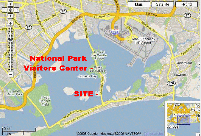
New York Site - Jamaica Bay National Wildlife Refuge
Our primary broadcast site lies just before the toll booths on Cross Bay Blvd leading over to Rockaway from Brooklyn. As you cross under the Belt Parkway you will travel south on Cross Bay through Howard Beach and over a long bridge. You will pass the Natl. Park VISITOR CENTER for JAMAICA BAY National Wildlife Refuge (there is a big wooden sign at a stoplight.) This CENTER is our BACKUP site in case of terrible weather.
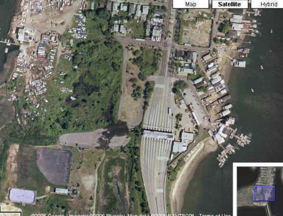
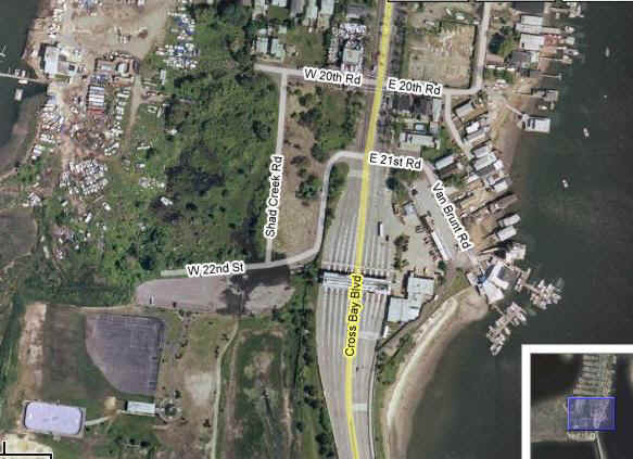
Continue down Cross Bay Blvd for a couple of miles, past houses and businesses. You will see the TOLL BOOTHS in the distance. Get in the FAR RIGHT lane. You will turn RIGHT onto WEST 22nd STREET (just before the toll booths). It is really hard to see, it looks like a private drive. (See map layout below)
There is a stoplight just before the WEST 22nd STREET turn and it IS possible to turn right there and make a left into the site. (See map layout below)
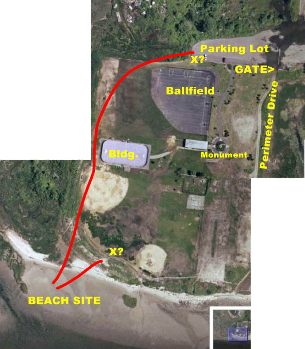
BELOW is a composite map showing the entire site. There are TWO possible parking areas for the truck. One is at the end of the ASPHALT PARKING LOT by the ballfield. The other requires driving through the gate, around the perimeter of the field and there is good parking right next to our fieldtrip area. The parking lot site will require two camera runs of 1250-1500 ft. each. The grass parking area would require two runs of about 250 ft. IF the grass area is used the truck must drive at the very perimeter of the field as the baseball fields are laced with underwater sprinkler systems. The grass parking area is quite solid. The truck could probably not "turn around" at the final location but could make a "great circle" route out of the park. Final parking position will be decided by truck personnel and satellite contracter.
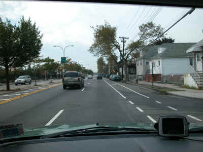
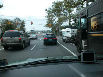
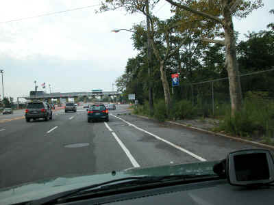
Below is a sequence showing the "ride in" to our site. Shot one shows the neighborhood, shot two approaches the stoplights at West 20th, shot three approaches the toll booths, shot four shows the road (West 22nd) as it turns off Cross Bay Blvd just before the toll booths (note it does have a street sign).
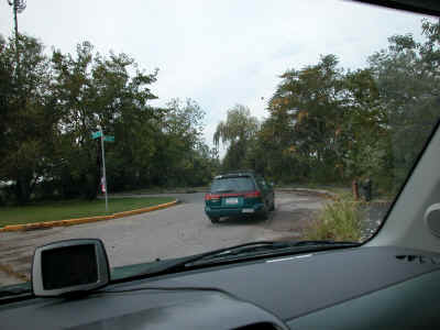
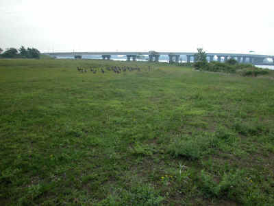
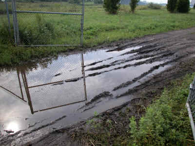
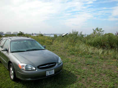
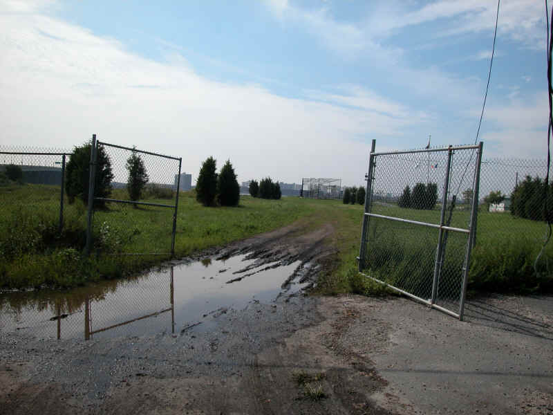
Shot one below shows the expanse of the baseball fields with the toll bridge in the background. Shot two shows the gate (it had rained for two solid days when this shot was taken), normally this is a good driveway. Shot three shows the "near site" grass parking area. This is a National Park Ranger's car.
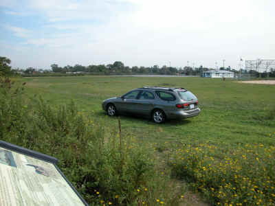
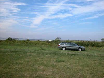
Below we see how close we can get "on the grass." The second shot show the relationship to the gate. The truck MUST drive only on the perimeter of the field because of the UNDERGROUND SPRINKLER SYSTEM (see shot three below).
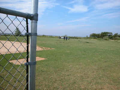
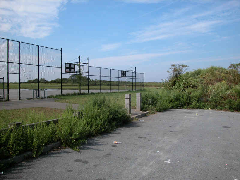
The shot below show the far end of the asphalt parking lot which is also a possible location for the truck to park. You can see the baseball field visible in the aerial photo (on the left). Cable runs from here would be 1250-1500 ft.
View through the gate and driveway. It had rained for two solid days and was wet during our visit but normally this is hard packed and easy to traverse. There are some overhead power lines but they appear to be legal height.
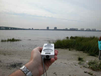
We're at the site (below) and we can see the south facing sky with no problem.
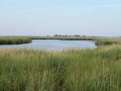
Below we see the fieldtrip area. It is not a huge site and will be fairly easy to reach with 200-ft of loose cable on the handheld camera. There will be one tripod camera in a fixed location.
Our site producers are:
Laura Bartovics
New York Sea Grant, HEP Outreach Coordinator
NY-NJ Harbor Estuary Program Office
290 Broadway, 24th Floor
New York, NY 10007
ph 212-637-3787
fx 212-637-3889
lmb55@cornell.edu
Cathy Yuhas
Technical Specialist
New Jersey Sea Grant Extension Program
NY/NJ Harbor Estuary Program Office
290 Broadway, 24th Floor
New York, NY 10007-1866
Phone: 212-637-3792
Fax: 212-637-3889
e-mail: cathy@harborestuary.org
yuhas.catherine@epa.gov